Remote Sensing

Data-based results made simple.
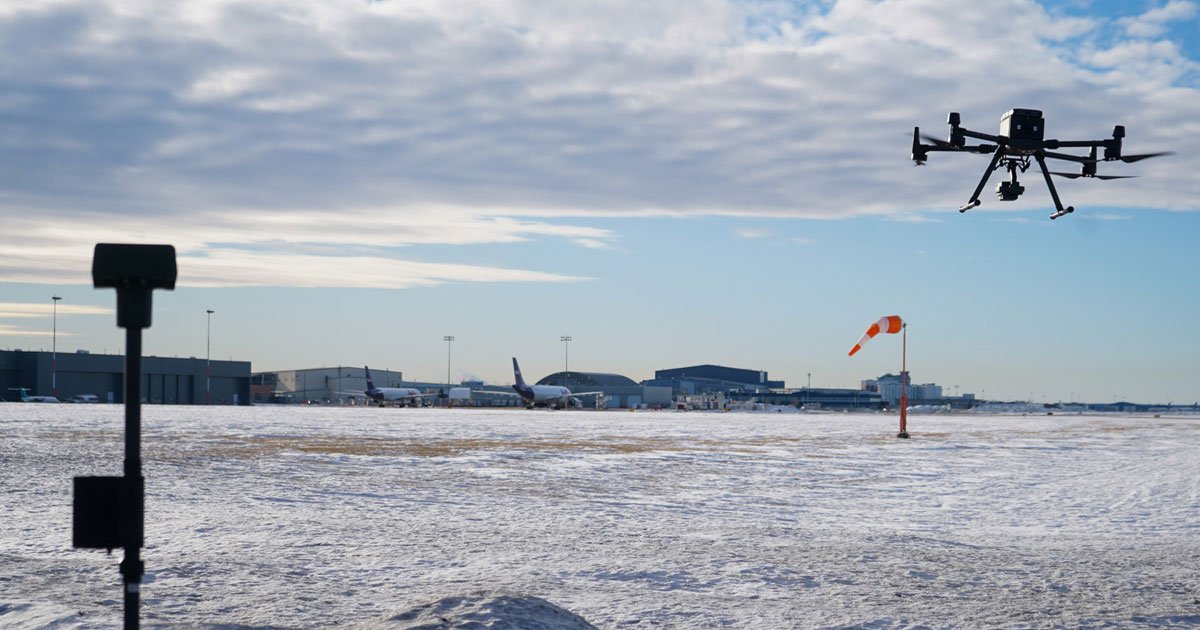
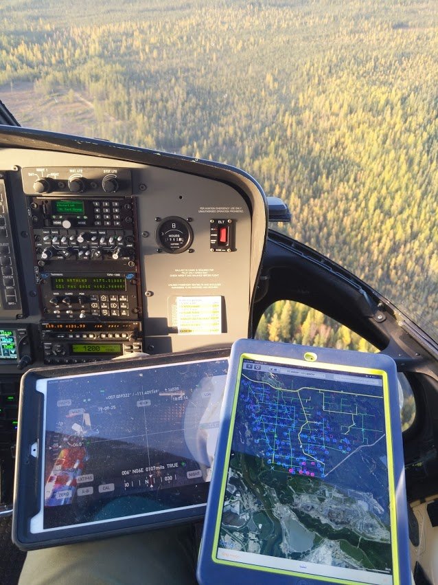
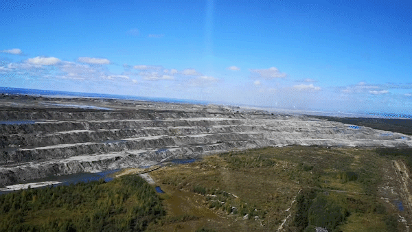
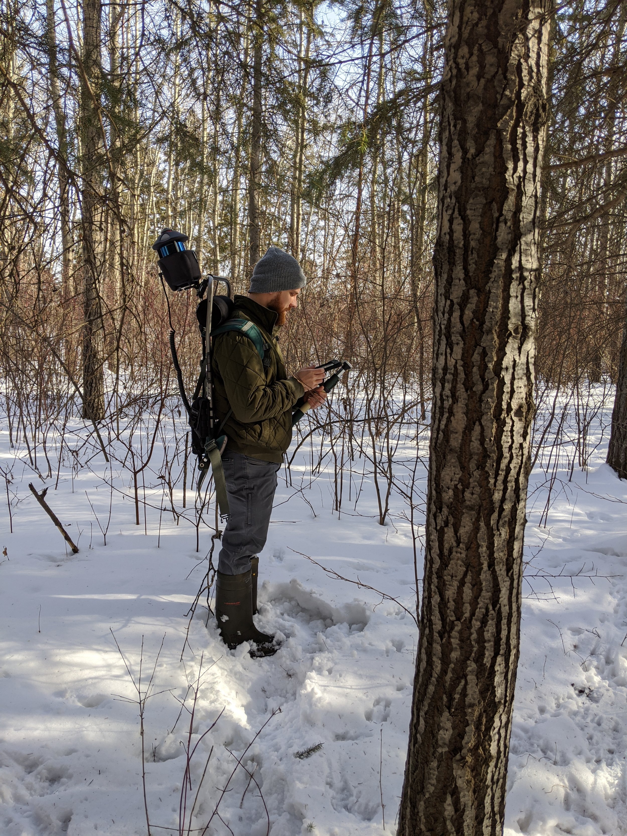
Regardless of if your data is collected from terrestrial sources, drones, aerial sources, or satellites — our team has the ability to work with a wide swath of remotely-sensed data such as LiDAR, 3-band, or multi-spectral data. We have experience creating a vast range of products from remotely-sensed data including forest, environmental, hydrologic, and anthropogenic types of datasets. Our team can assist you with data acquisition, processing, analysis, and visualization.
Using these datasets, we help solve complex problems relating to forest harvesting, road routing, site selection, reclamation planning, and habitat management. Our experienced team uses these datasets in accordance with your GIS suite to best serve your needs.